| Home > All By Location regional map > Glenshaw > Old Butler Plank Rd over Pine Creek | ||||||
|
|
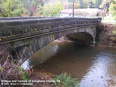
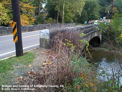
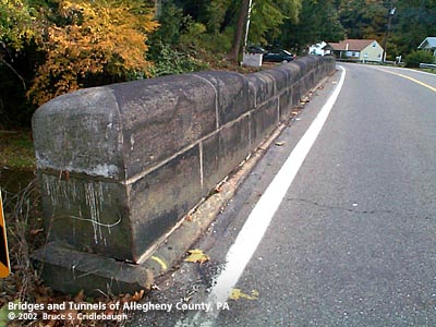
View north from CSX RR (downstream right) Main information page
Submit info or inquiry - share some facts or ask a question. Introduction -- Nearby Structures Page created: Last modified: 20-Feb-2003 |
View Larger Map View Larger Map 
| ||||
| copyright: © Bruce S. Cridlebaugh 1999-2008 All Rights Reserved | ||||||