| Home > All By Location regional map > Pittsburgh West > Pittsburgh & Lake Erie RR over South Main St | |||
|
|
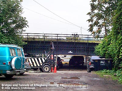
View north with Ohio River beyond OFFICIAL NAME: OTHER DESIGNATION: Pittsburgh & Lake Erie RR over South Main St CSX RR over South Main St LOCATION: Pittsburgh USGS 7.5" Topo Quad - UTM Coordinates: Pittsburgh West - Zone 17; 0582 4477 CARRIES: CSX RR [former P&LE RR] site of West Side Belt RR interchange yard BETWEEN: -- near Riverside Way CROSSES: -- South Main St TYPE OF CONSTRUCTION / DESIGN: LENGTH OF MAIN SPAN: TOTAL LENGTH (including longest elevated ramp): HEIGHT OF DECK: YEAR ERECTED / ENGINEER: c1910 ADDITIONAL INFO: view page - 1923 description of Pittsburgh & Lake Erie Railroad view page - History of the Wabash Pittsburgh Terminal Railway - West Side Belt Railroad view page - Other structures in the West End Valley FIELD CHECKED: 10-May-2004 INFO SOURCES: field check Submit info or inquiry - share some facts or ask a question. Introduction -- Nearby Structures Page created: Last modified: 13-Jul-2004 |
View Larger Map View Larger Map 
| |
| copyright: © Bruce S. Cridlebaugh 1999-2008 All Rights Reserved | |||