| Home > All By Location regional map > Pittsbugh East > Liberty Bridge | |||
|
|
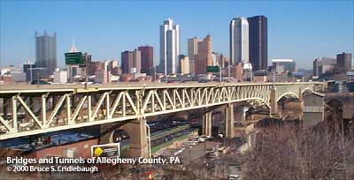
View north from Lower McArdle Roadway Elevation drawing looking downstream More detail photos OFFICIAL NAME: Liberty Bridge OTHER DESIGNATION: South Hills Bridge pghe585-33 LOCATION: Pittsburgh USGS 7.5" Topo Quad - UTM Coordinates: Pittsburgh East - Zone 17; 0585 4476 CARRIES: motor vehicles, four lanes undivided, center lanes reversible; SR3069 BETWEEN: -- Blvd of the Allies and Crosstown Blvd on right descending bank of Monongahela River -- P.J. McArdle Roadway and Liberty Tubes on left descending bank of Monongahela River CROSSES: (north to south) north approach: Second Av; First Av; Eliza Furnace ("Jail Trail") bike/hike trail [formerly B&O RR yard]; Penn Lincoln Parkway East [I-376, US22, US30] main spans: Monongahela River at mile 1.1 south approach: CSX RR (PLE); McKean St; South First St; East Carson St; Port Authority "T" light rail Arlington line; Arlington Av TYPE OF CONSTRUCTION / DESIGN: Steel cantilever concrete piers LENGTH OF MAIN SPAN: 448 ft clearance on two main spans TOTAL LENGTH (including longest elevated ramp): 2663 ft HEIGHT OF DECK: 44.4 ft clearance near piers Emsworth Dam normal pool level 710 ft YEAR ERECTED / ENGINEER: 1926-28 George S. Richardson Allegheny County Department of Public Works ADDITIONAL INFO: The Liberty Tubes had been opened for four years by the time this bridge was completed. Some twenty years earlier the South Hills Trolley Tunnel had helped to ease commuting to the areas beyond the barrier of Mt. Washington. And prior incline and street car schemes -- to Mt. Oliver, Knoxville, Castle Shannon and so on -- had been in operation as many people searched for a way to access the city from the south. With the opening of the Liberty Bridge and the resolution of the Liberty Tubes' ventilation problems, the South Hills boroughs and townships were finally given a direct auto route to and from downtown. In 1930-31, the construction of Saw Mill Run Blvd and the West End Bridge also sought to improve travel around the 5-mile-long, 400 foot "great wall" of Mount Washington. Original plans were to include a full interchange with Saw Mill Run Blvd at the southern portal of the Liberty Tubes. A version of this plan was finally completed in 1999. At the southern landing of the Liberty Bridge, a traffic circle with a small monument was placed in the intersection with the 1928 Mount Washington (P.J. McArdle) Roadway. The circle has long since been removed and paved over -- and with today's traffic it is difficult to imagine that a roundabout could fit in that location. The northern landing of the Liberty Bridge splits into outer ramps which lead to connections with the 1921 Blvd of the Allies and the center lanes which slope down toward Forbes Av and the 1962 Crosstown Blvd. view page - Liberty Bridge -- Historic American Engineering Record document view page - Liberty Tunnels FIELD CHECKED: INFO SOURCES: USACE Monongahela River Nav. Charts, Kidney: "Pittsburgh's Landmark Architecture" Submit info or inquiry - share some facts or ask a question. Introduction -- Nearby Structures Page created: Last modified: 03-Nov-2000 |
View Larger Map View Larger Map View Larger Map 
| |
| copyright: © Bruce S. Cridlebaugh 1999-2008 All Rights Reserved | |||