pghbridges.com

allegorical carving from Allegheny County Office Building; 1929-31; Stanley L. Roush, architect

BRIDGES AND
TUNNELS OF
ALLEGHENY
COUNTY,
PENNSYLVANIA

. . . . . . . . . . . . . . .
Introduction
. . . . . . . . . . . . . . .
What's New
. . . . . . . . . . . . . . .
Tours
. . . . . . . . . . . . . . .
Search
. . . . . . . . . . . . . . .
STRUCTURES
List by Location
List by Design
List by Name
List by Use
. . . . . . . . . . . . . . .
OTHER INFO
Articles
Bridge Basics
Regional Maps
. . . . . . . . . . . . . . .
Terminology
 : Engineering
 : Masonry
 : Metal
 : Bridge
 : Tunnel
 : Mapping
. . . . . . . . . . . . . . .
About This Site
Info Sources
Related Sites
Feedback
. . . . . . . . . . . . . . .

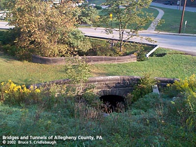
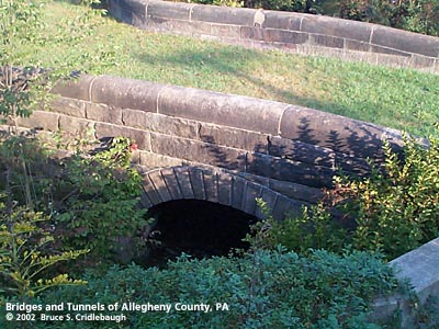
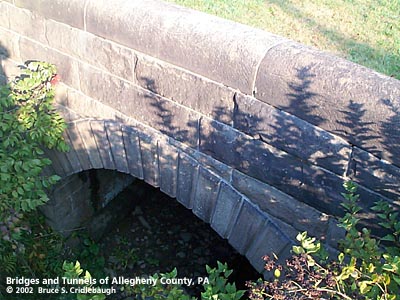
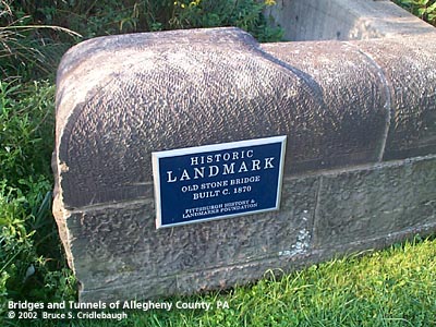
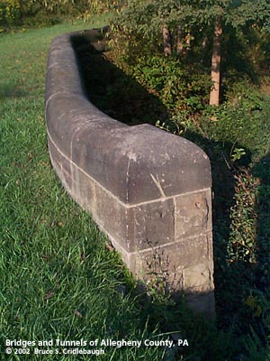
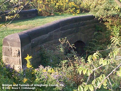
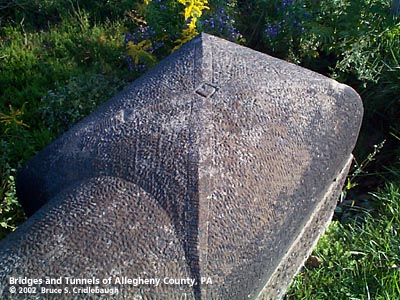
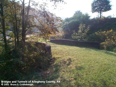
Home > All By Location regional map > Murrysville > McGregor Rd over Thompson Run
picture of bridge
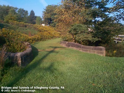
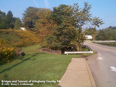
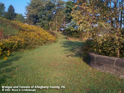
View west
Main information page
photo of bridge photo of bridge photo of bridge
Overview facing north from shopping plaza embankment --
  Old Wm Penn Hwy and Beatty Rd in background;
Two views of southern arch wall

photo of bridge photo of bridge photo of bridge photo of bridge
PHLF Landmark Plaque on inside of southern wall;
Northern arch face;
Northern parapet and end cap;
Detail of end cap

photo of bridge photo of bridge photo of bridge
View east from old path of McGregor Rd;
Overview west with Old William Penn Highway at right;
View west from bridge deck --
  old path of McGregor Rd roughly followed grass area and curved uphill to left


Submit info or inquiry - share some facts or ask a question.

Introduction -- Nearby Structures

Last modified on 10-Oct-2002
copyright 1997-2002 Bruce S. Cridlebaugh