| Home > Articles > Pennsylvania Path of Progress Heritage Route | |||
|
|
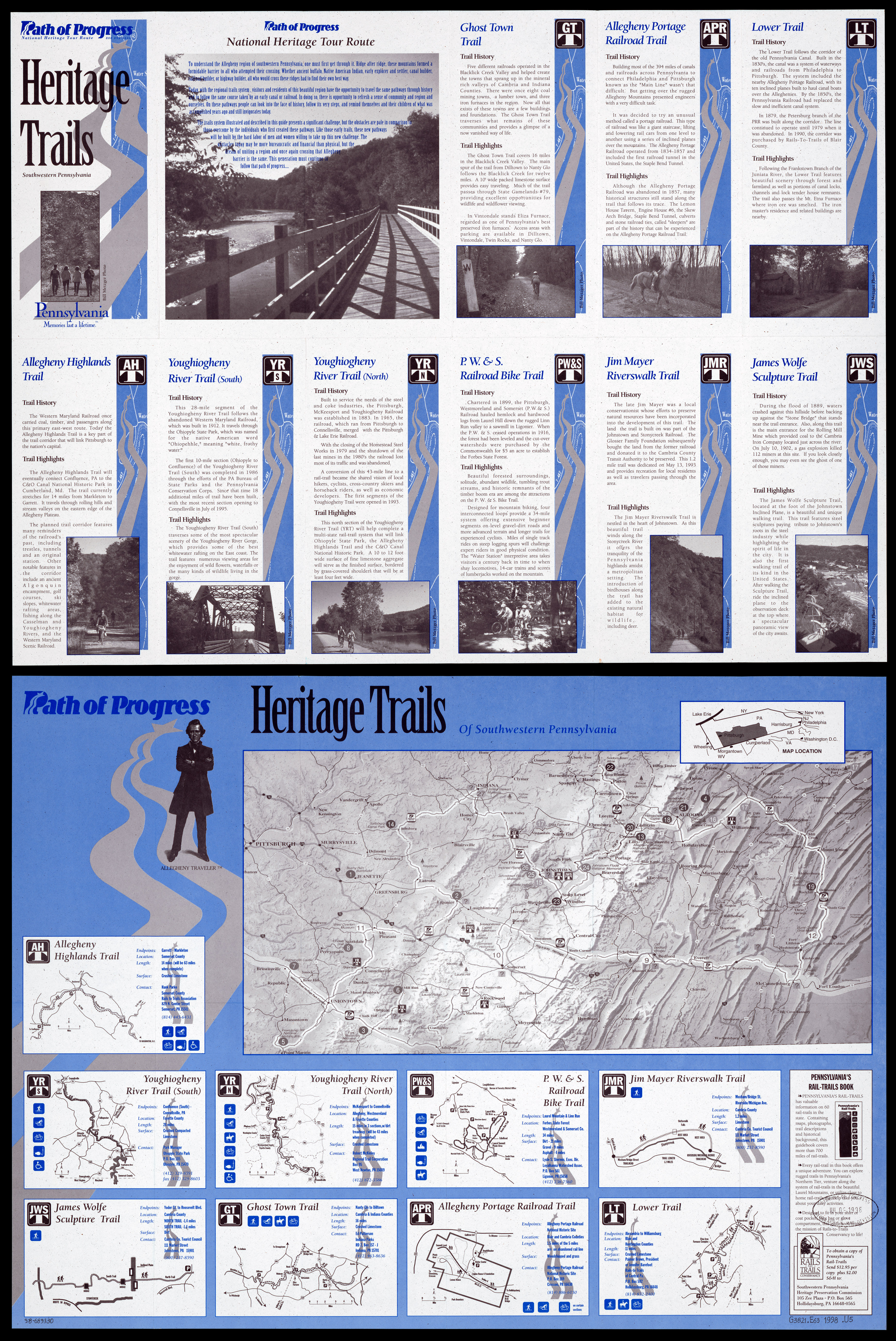
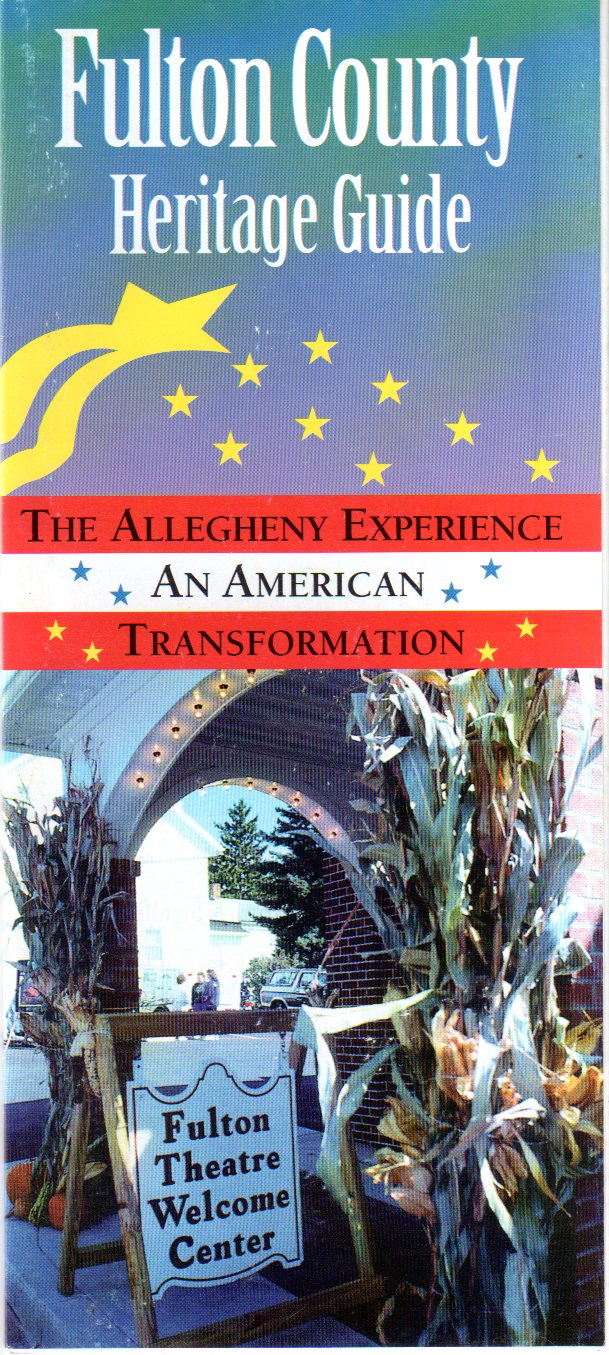
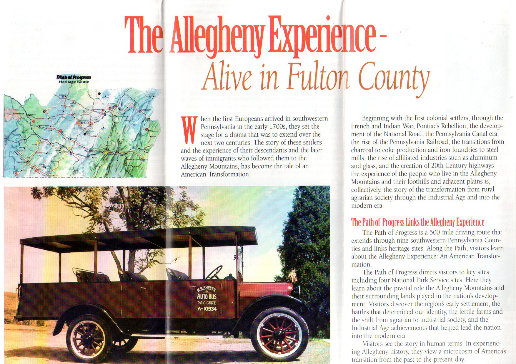
Pennsylvania Path of Progress Heritage Route The Path of Progress was a 500-mile driving route that passed through through nine southwestern Pennsylvania counties (Fayette, Westmoreland, Indiana, Cambria, Somerset, Blair, Huntingdon, Mifflin, Fulton, and Bedford) and linking heritage sites. It directed visitors to key historical sites and points of interest, including four National Park Sites. Heritage sites pertained to the westward expansion of the early United States across the Allegheny Mountains, early settlement, battlefields, farming, the switch from an agrarian to an industrial society, and the Industrial Age. In addition to the overview map, each county had its own brochure. Events and sites represented included: the French and Indian War, Pontiac's Rebellion, the National Road, the Pennsylvania Canal, the Pennsylvania Railroad and Horseshoe Curve, the Lincoln Highway, coal mining, steel production, related industries such as aluminum and glass, the Johnstown Flood, Fallingwater, and more. The signage for the main loop featured two signs: the round outside shape indicating travel in a counterclockwise direction (looking down at a map). The square outside shape indicating travel in a clockwise direction. There were additional spurs and loops along the main route. Each participating county had one or more loops or extensions. These were not marked by signs, but appeared on maps which were available at many of the major sites along the main route. Jeff Kitsko at PA Highways has more details on the route and the history. He notes the following: "Whereas brochures and maps were available at the historic sites along the way which showed the Heritage Tour Route were plentiful in the 1990s and into the early 2000s, by the middle of the 2000s they had fallen by the wayside due to funding constraints. Contrast that with the efforts of the late US Representative John Murtha of Cambria County, who was able to deliver $63 million in funding to the organization between 1989 and 1993. Finally, on November 18, 2008, the Commission was sunset. Most of the markers showing the old route have been either removed or stolen since, but there are still some along the way that have survived." 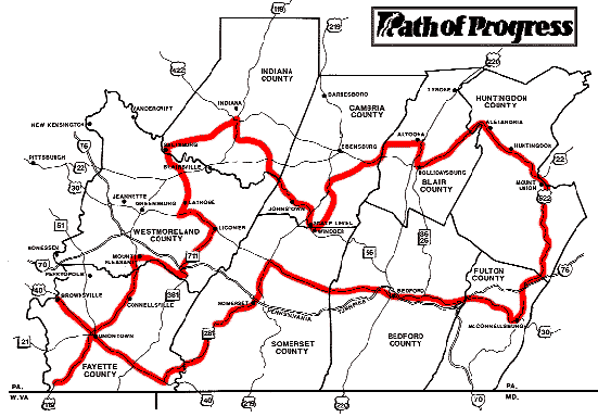
 Larger image 

Submit info or inquiry - share some facts or ask a question.
Page created:
|
||
| copyright: © Bruce S. Cridlebaugh 1999-2008 All Rights Reserved | |||