
| |||
| Home > Regional Maps | |||
|
|
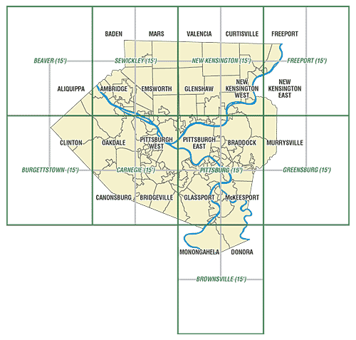
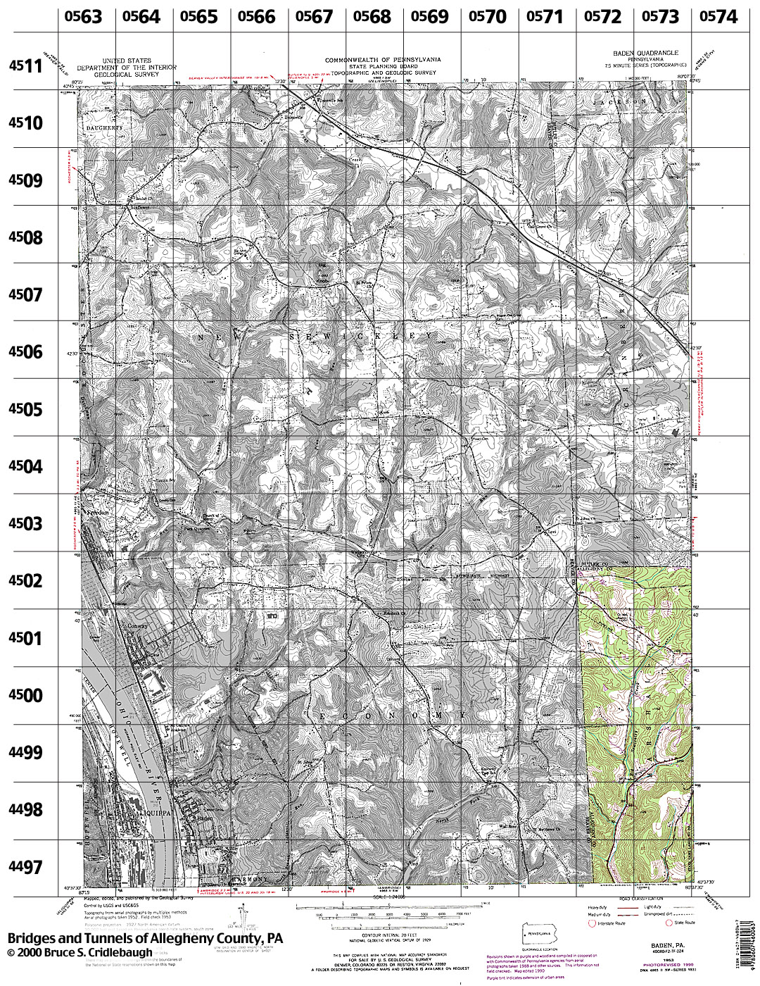
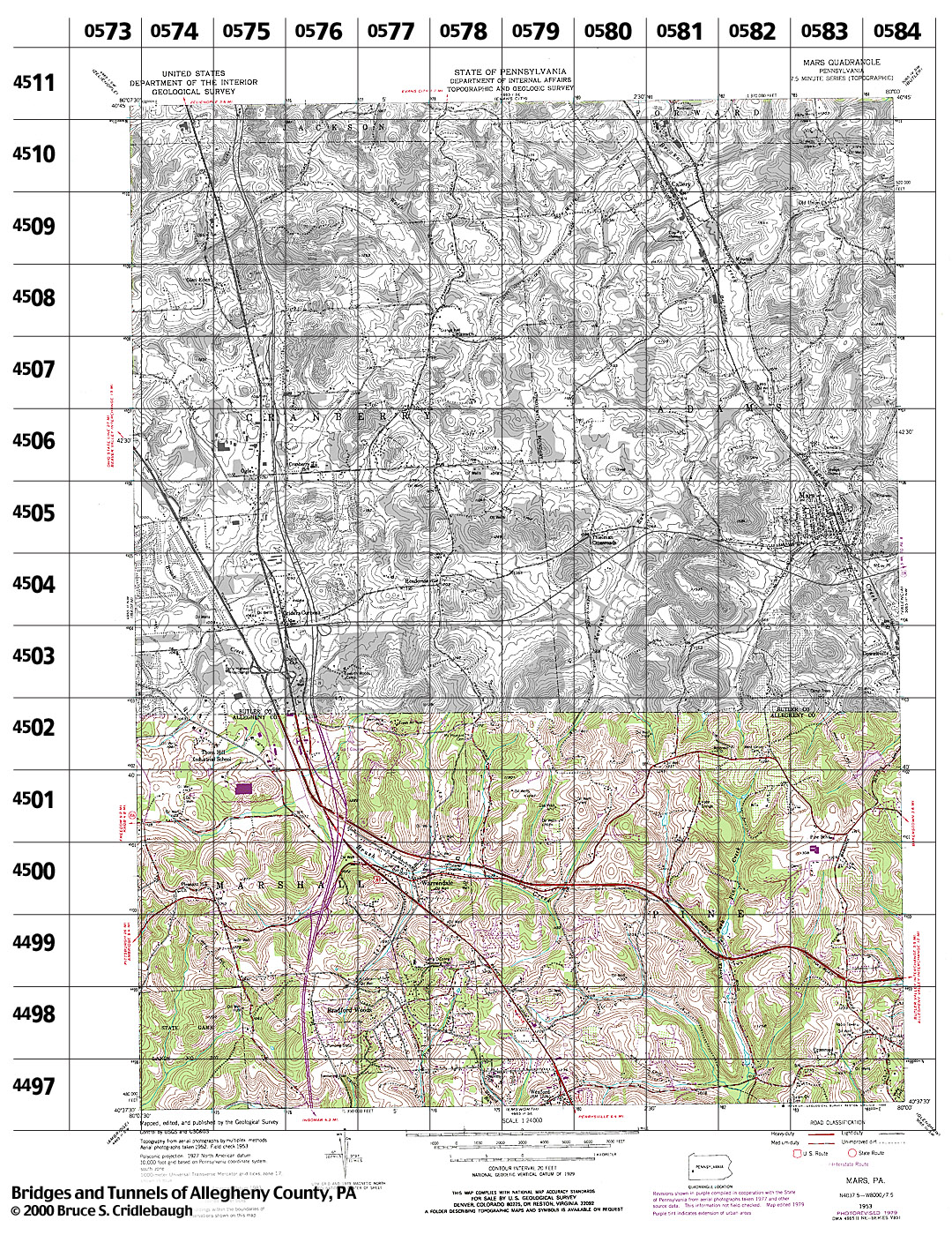
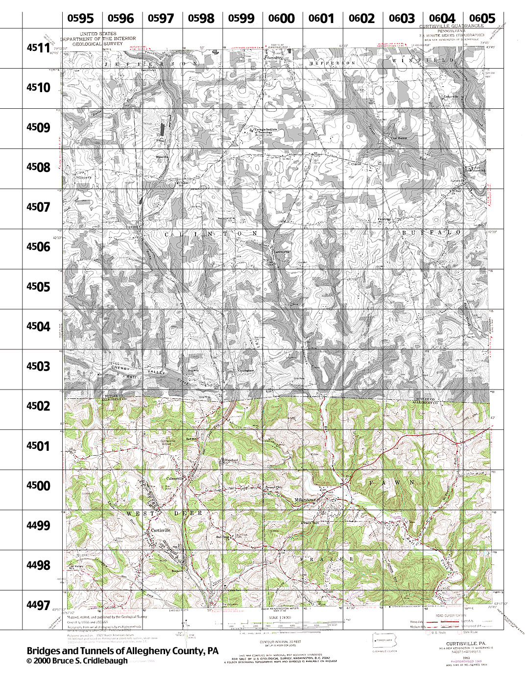
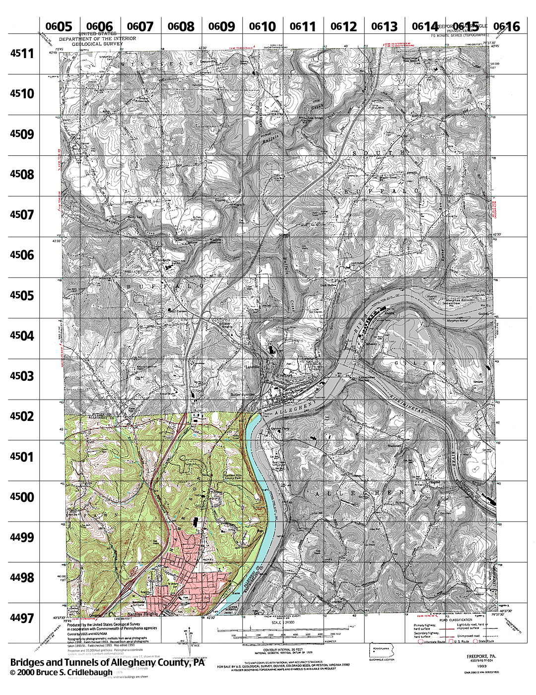
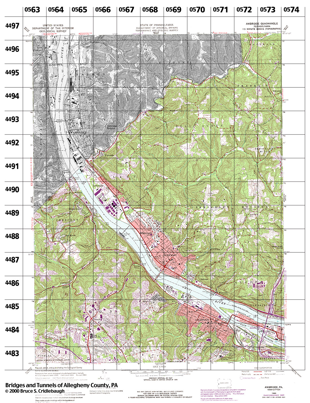
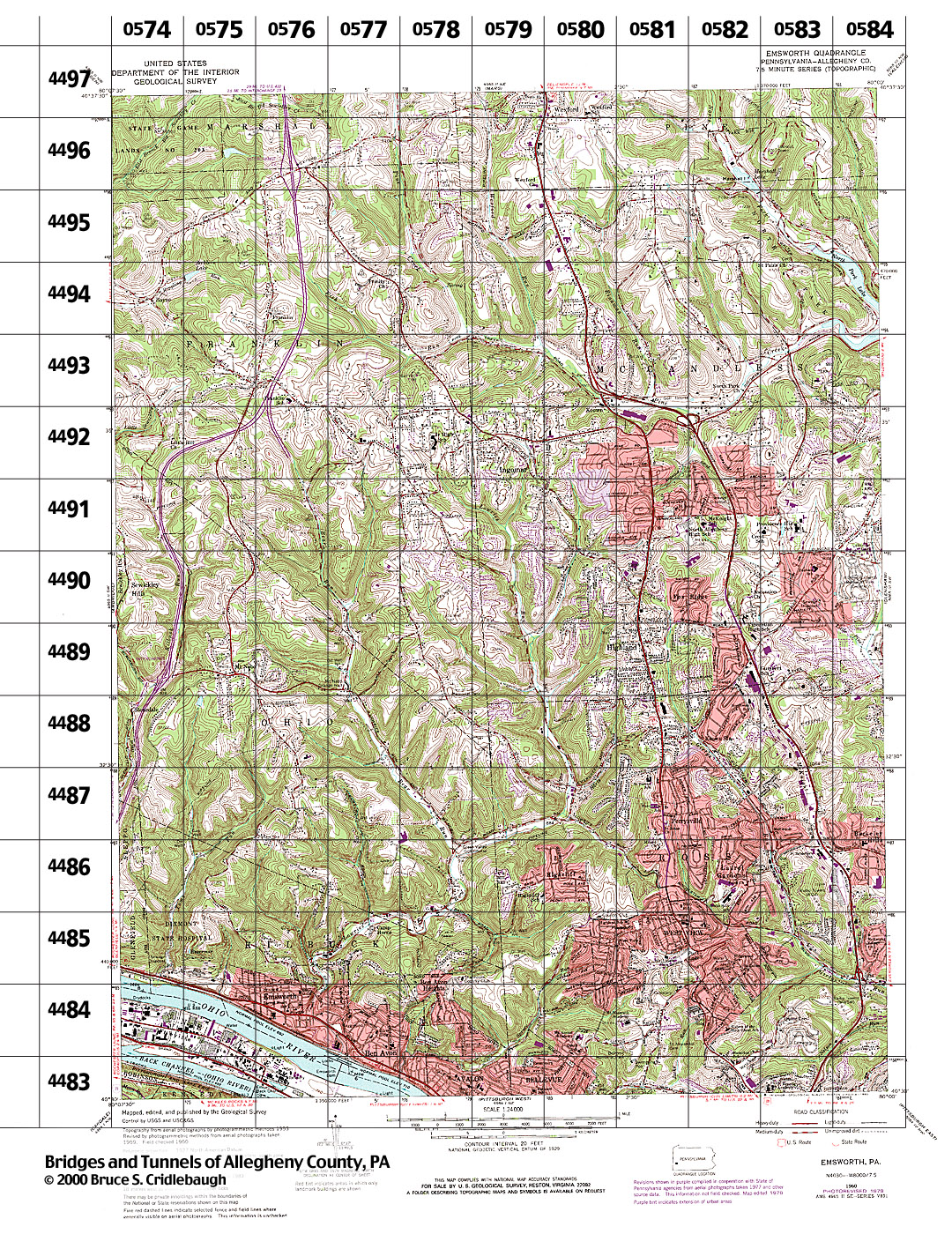
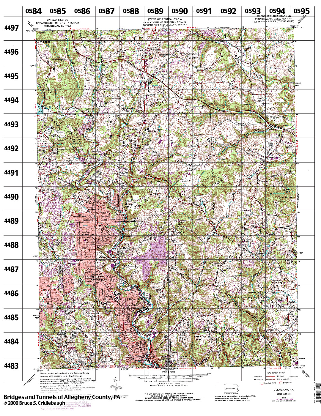
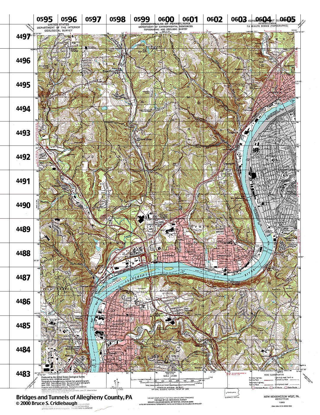
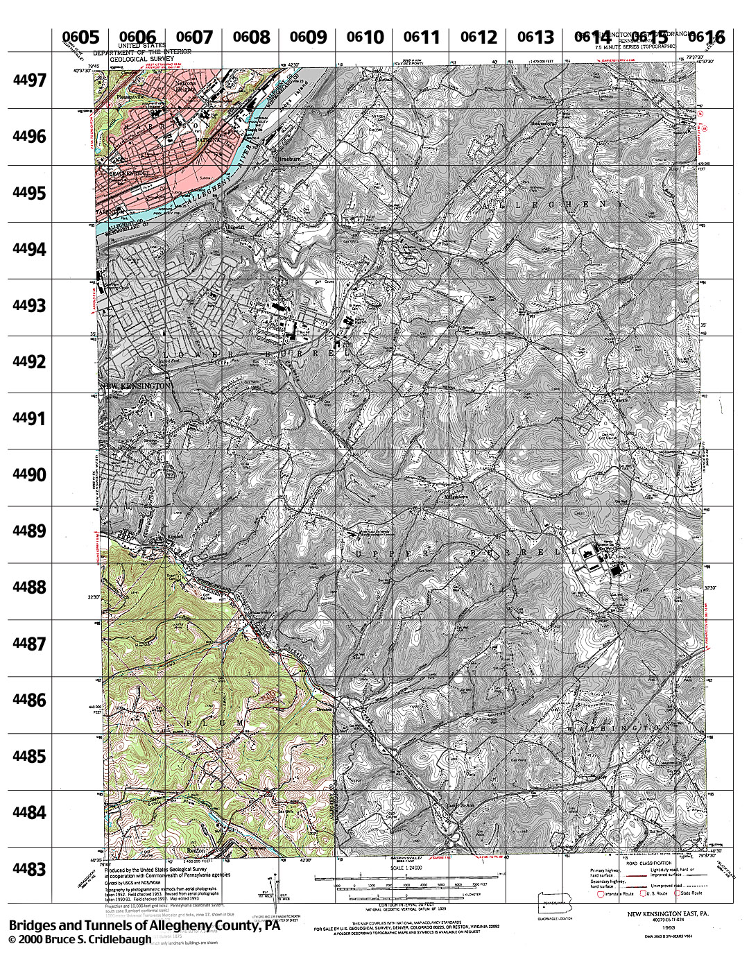
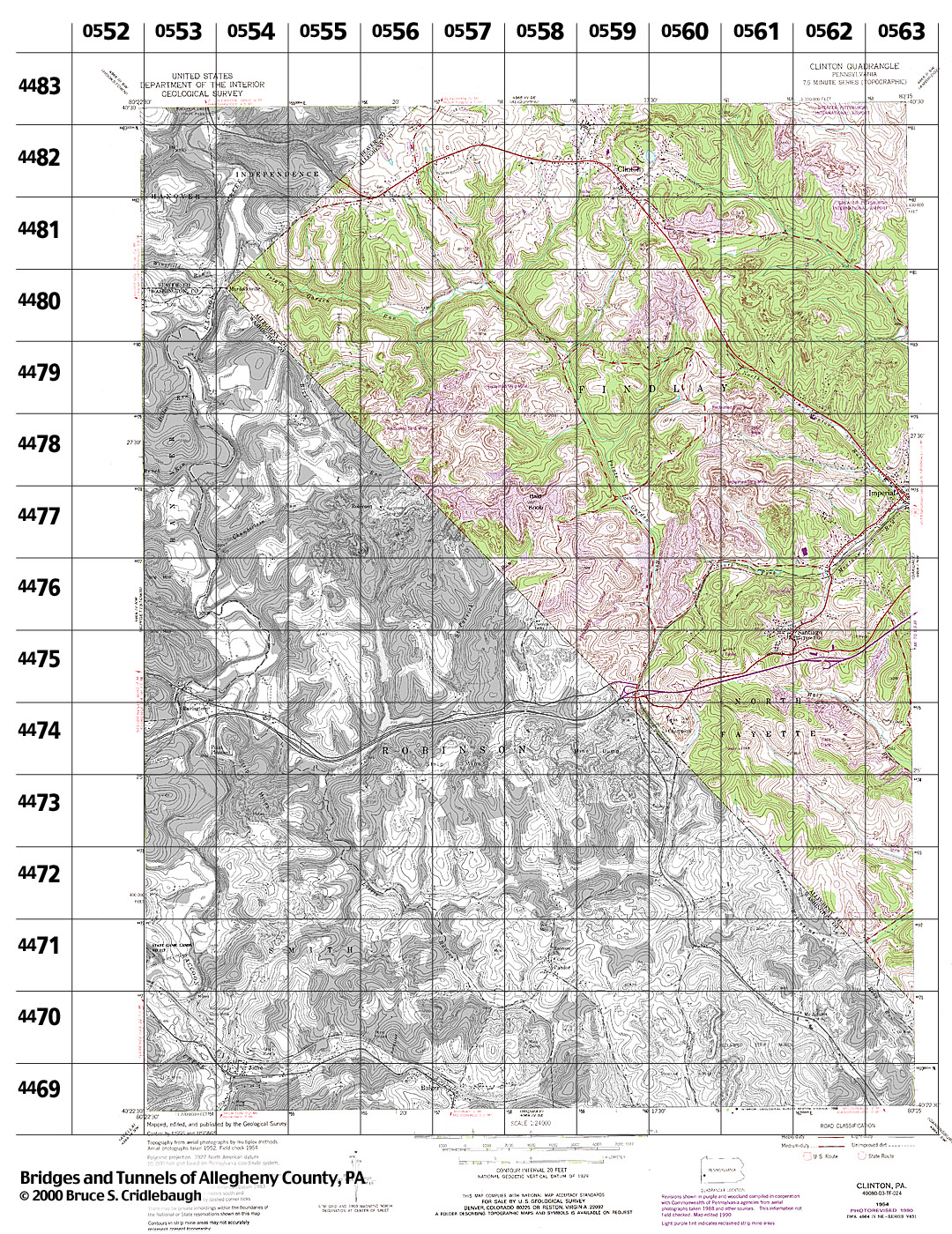
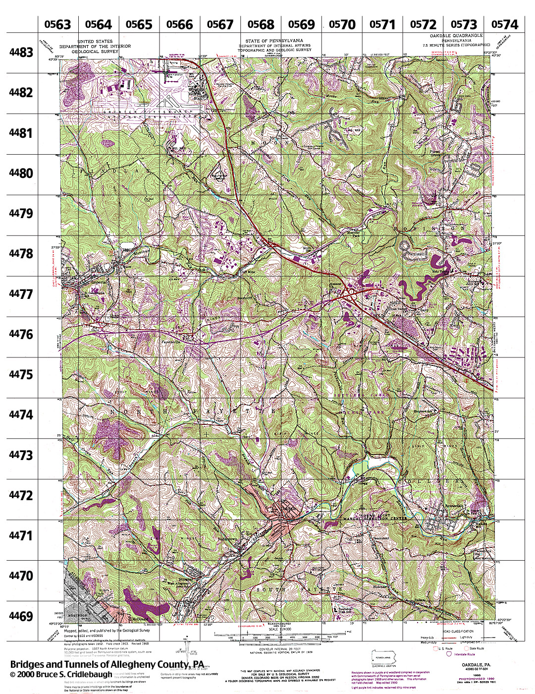
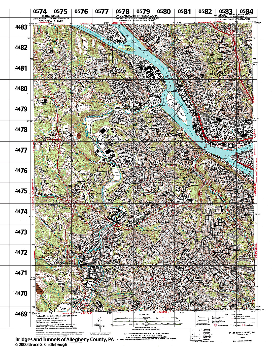
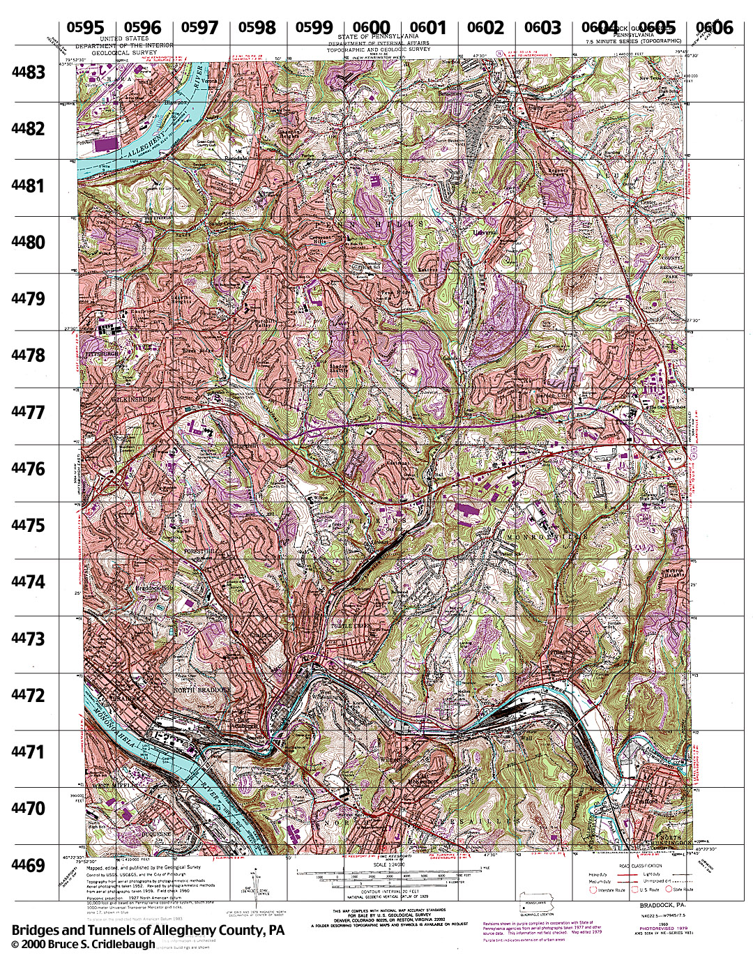
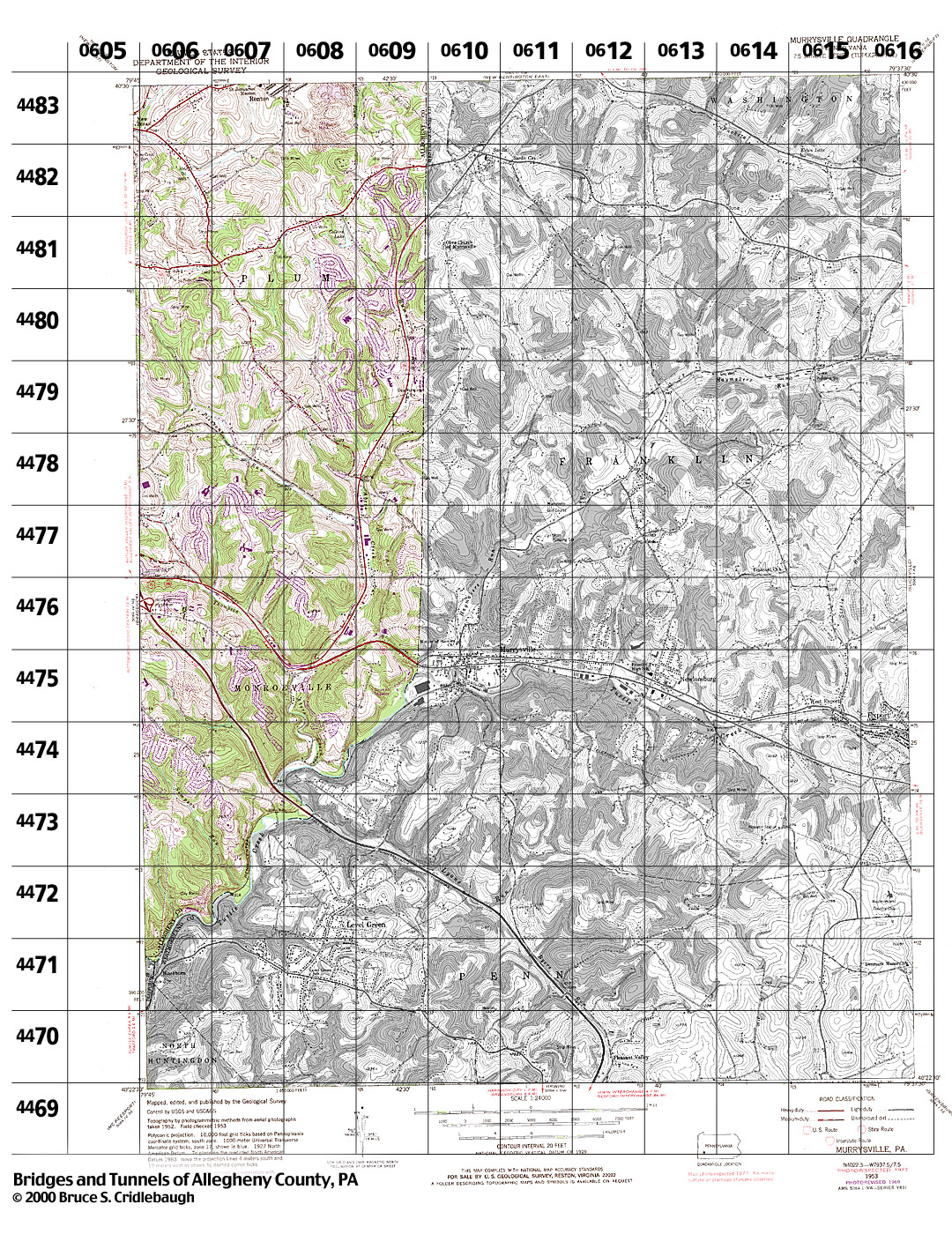
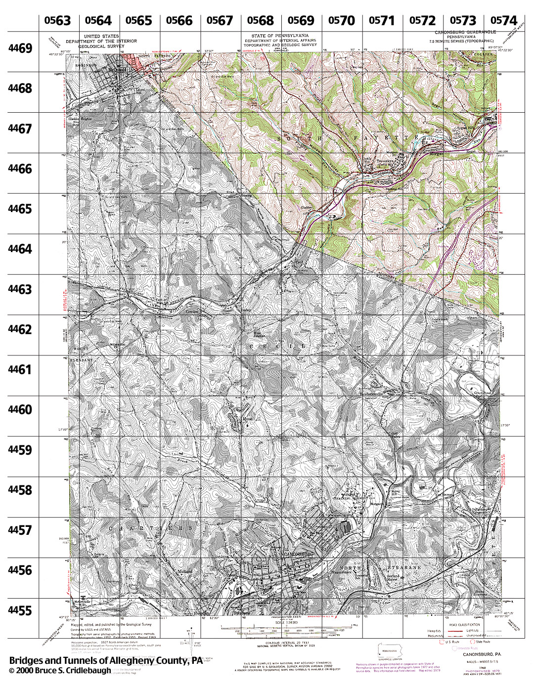
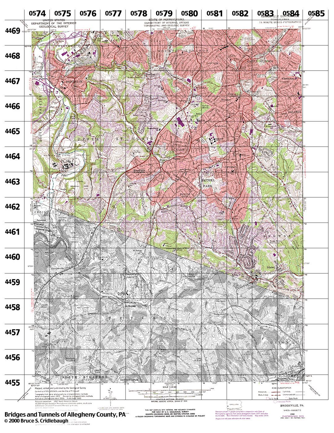
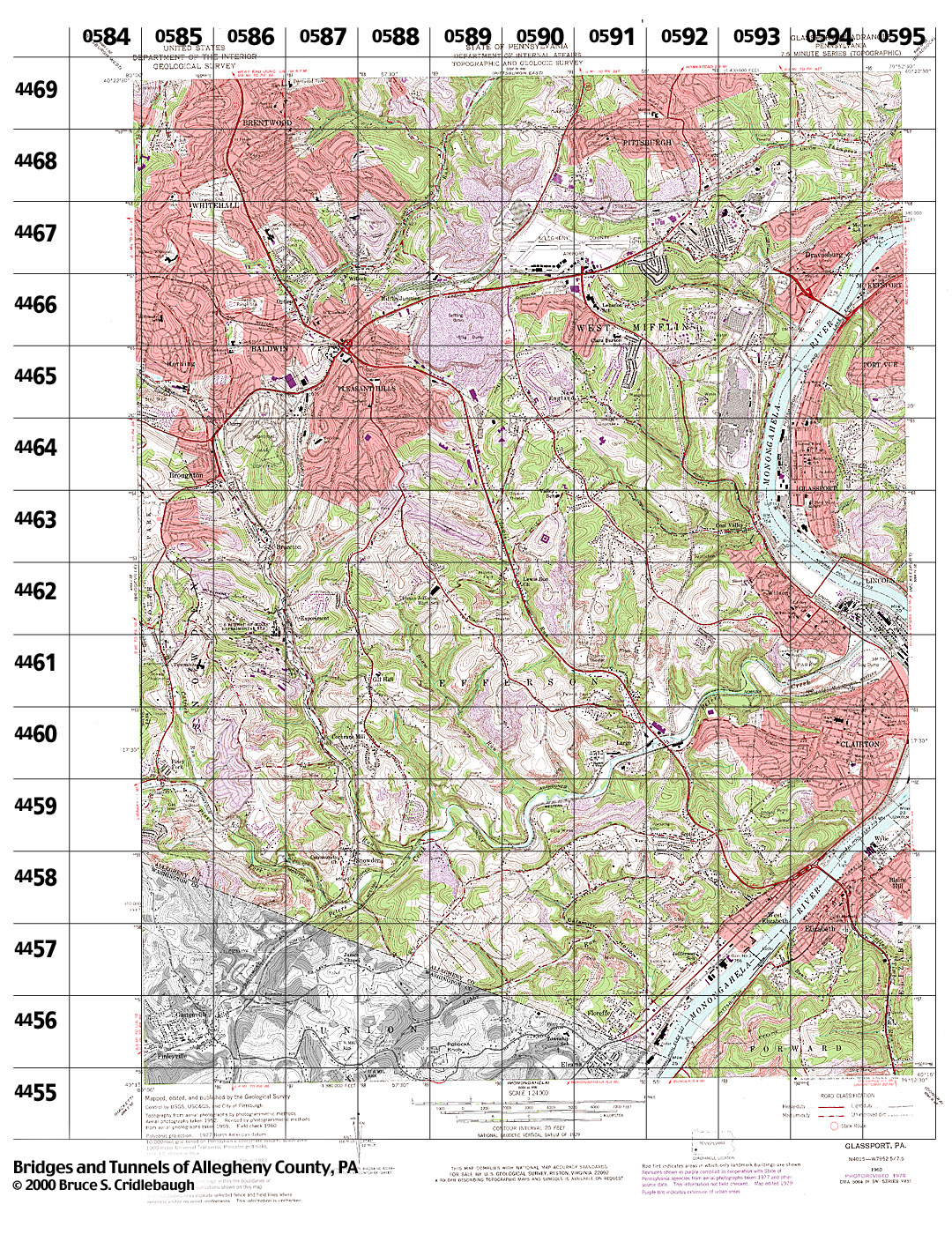
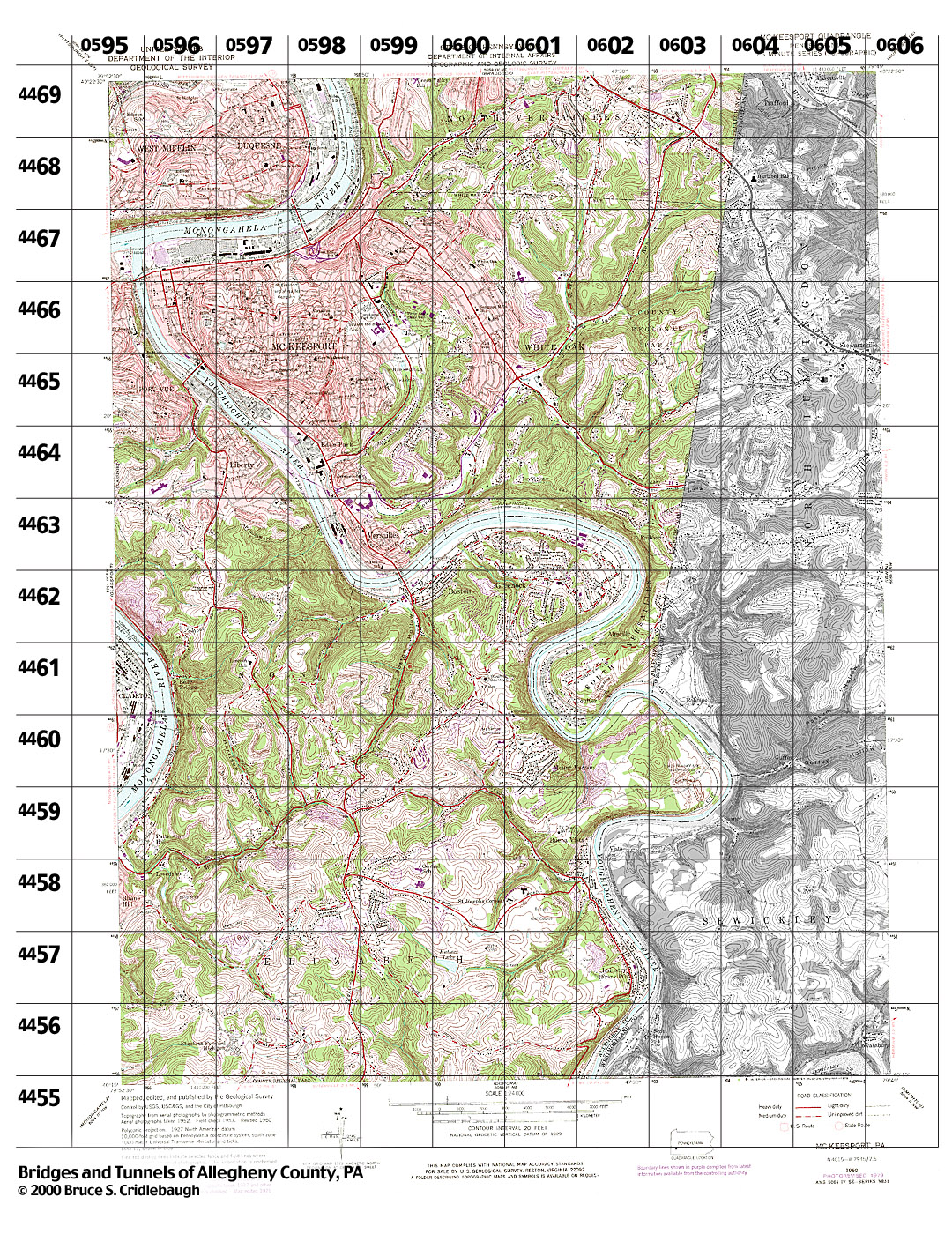
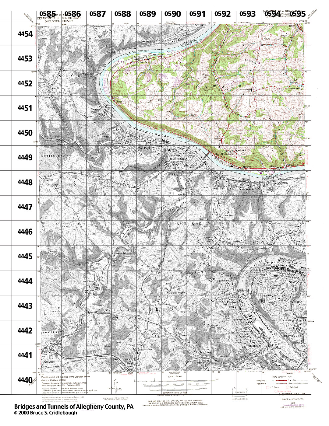
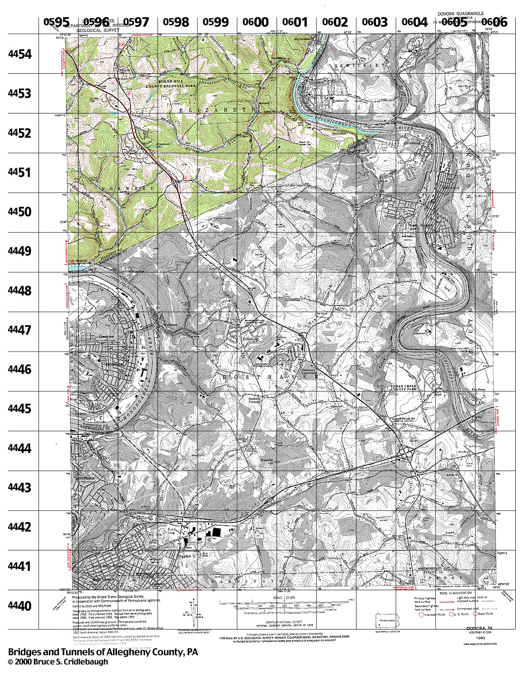
Regional Maps USGS 7.5' topographic quadrangle map coverage of Allegheny County Structures on pghbridges are indexed by USGS topo quad and UTM (Universal Transverse Mercator) grid. This map links to Structures Listed by Location. Use table below for maps showing UTM grid for each topo quad. Download higher resolution USGS maps from PASDA
Wider red lines are Interstate highways.
MAPS ON THIS SITE
The Overview Map plots structures within Allegheny County onto The table below links to small images of the USGS 7.5' topo quads showing UTM grid; full color area on these maps indicates Allegheny County; (approx 200k jpg each)
ALLEGHENY COUNTY
visit site - Allegheny County GIS Viewer (Geographic Information Systems)
ON-LINE MAP SERVERS
Google Maps
Pennsylvania Spatial Data Access
MapQuest digital maps
Windows Live Local
USGS 15' topo quad coverage of Allegheny County Green labels (green outline) indicate 15 minute series used for historical (c1900) USGS topo quads; Black labels (grey outline) indicate 7.5 minute series USGS topo quads.
Maptech -- Historical (c1900) USGS 15 minute topo quad
Submit info or inquiry - share some facts or ask a question.
Page created:
|
||
| copyright: © Bruce S. Cridlebaugh 1999-2008 All Rights Reserved | |||
